The NHC’s Forecast for Lee’s Tropical Cycloclone: More Impacts on the U.S. East Coast, Atlantic Canada, and Bermuda
“It is way too soon to know what level of impacts, if any, Lee might have along the U.S. East Coast, Atlantic Canada, or Bermuda late next week, particularly since the hurricane is expected to slow down considerably over the southwestern Atlantic,” the NHC’s John Cangialosi wrote in his discussion of the forecast.
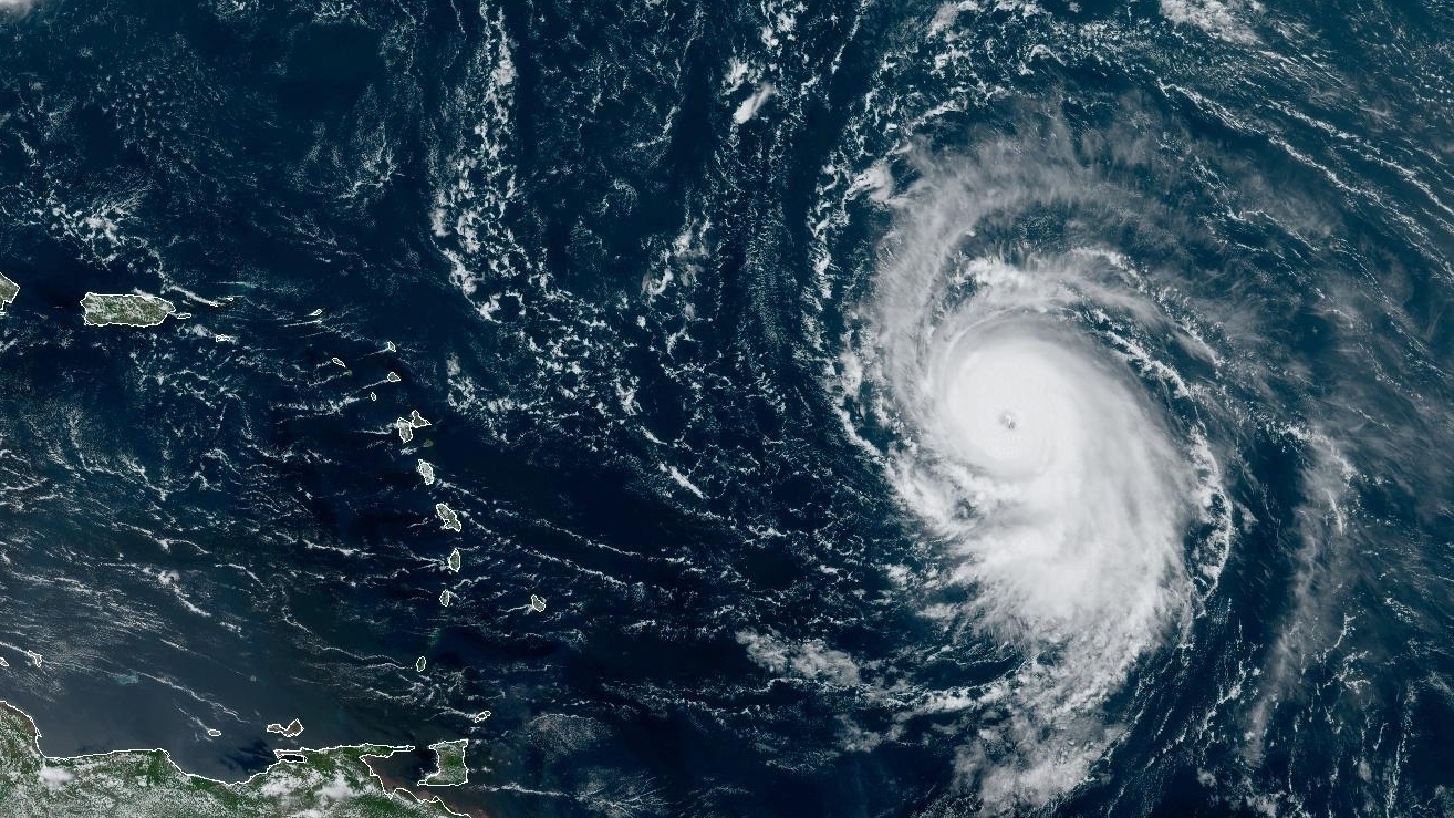
The NHC said that the potential for a tropical storm to happen in the northern Leeward Islands, the Virgin Islands, and Puerto Rico is decreasing.
It’s not yet certain if Lee will hit somewhere or spin harmlessly away from the US coast.
The system has been gaining power as it passes over “record-warm waters of near [86 degrees Fahrenheit] east of the Lesser Antilles,” the NHC said this week, adding that such warm waters are more expected in the Gulf of Mexico, not the Atlantic Ocean.
The fearsome storm is expected to keep adding power on Friday, before starting to ramp down its gaudy windspeeds a bit late Saturday and early Sunday. Still, it’s expected to solidly remain a major storm through the coming five days.
The frequency of intense and damaging tropical storms and hurricanes have been linked to climate change. Climate change and warmer water may be fueling more powerful tropical cyclones.